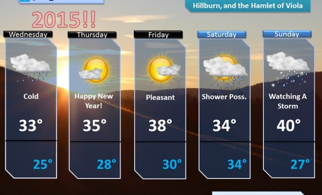
Good Afternoon! Here is a forecast discussion for the next 5 days!
Rest of the Workweek (Through Friday)
Today will likely be our coolest day of the week, but it will take some time for the wind to die down. It will be a cold night Wednesday night with lows dipping to near freezing, which means you should cover any sensitive plants, or bring them indoors, if possible in order to keep them from getting hurt or from dying. For your Thursday, the sun will be shining, but it will still be pretty gusty, so keep that in mind. Also, like today, the spread of Brush Fires is very possible so be mindful with cigarettes and limit or do not conduct any outdoor burning! Highs on Thursday will be near 57, and lows Thursday night will be near 38. For your TGIF, you can expect a mix of clouds and sun with a small chance of a late-day shower. It will be a bit warmer with a high near 61. Showers may continue Friday night into Saturday morning with a low near 42.
Weekend
The weekend is not looking too bad at all! For Saturday, other than a small chance of a morning shower, you can expect a mix of clouds and sun with milder conditions. Highs will be near 66. Expect partly cloudy skies to prevail Saturday night with a low near 43. Then, as we close out the weekend on Sunday, the final Sunday of April, you can expect mostly sunny skies with highs near 60. Sunday night will feature some clouds with lows near 39.
Early Next Week
We will start the workweek off with generally dry conditions. Expect a mix of sun and clouds with highs near 58. Monday night will feature mainly cloudy skies with lows near 39. We are tracking a potential storm that will spread rain through the area around the midweek time frame, so stay tuned!